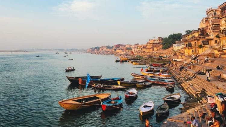
Ganga, which has been suffering from pollution for decades, is now writing a new story in Uttar Pradesh. Due to the huge investment made under the Namami Gange campaign and the coordination of modern technology, the main stream of Ganga has now become completely fit for bathing. The latest report of the Central Pollution Control Board (CPCB) has put a scientific seal on this historic reform.
According to the report, till 2018, a large part from Kannauj to Varanasi was placed in the dangerously polluted category called Priority-Four. Today that entire strip has been cleared. Now pollution has been limited to only three very small parts of Farrukhabad, Dalmau and Mirzapur, which have been kept in the category of least pollution (Priority-5).
- The challenge was big as the flow of Ganga is longest in Uttar Pradesh. To deal with this, Rs 16,201 crore was sanctioned. Of the 80 projects in the state, 53 have been completed, leaving 1,520 MLD treatment capacity operational.
- Sewage treatment plants in 11 big cities like Varanasi, Kanpur and Prayagraj are working in mission mode.
- In Varanasi and Agra alone, the dirty water of millions of citizens is being treated, which has stopped the waste falling directly into the Ganga.
resolution of zero pollution
The next target is to take Ganga to zero pollution level. An action plan is also ready for the remaining three small parts. According to NMCG Deputy Director General Nalin Kumar Srivastava, the improvement in BOD standards proves that there has been real and scientific improvement in the water quality of the Ganga after decades.
There will be 3D mapping of Ganga from Ballia to Farakka
National Mission for Clean Ganga (NMCG) has launched a big plan for the management of river Ganga. Under this, aerial lidar survey and 3D mapping of the Ganga corridor from Ballia in Uttar Pradesh to Farakka in West Bengal will be conducted. The project, launched under the Namami Gange programme, will cover the stretches of the river passing through UP, Bihar, Jharkhand and West Bengal.
A 3D digital twin of the river will be created using state-of-the-art geospatial technology. It will use manned aircraft, drones and photogrammetry. Its purpose is to accurately identify drain outlets, confluence points and flood areas.